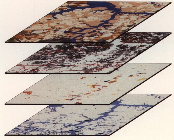
![]() GIS is a powerful spatial analysis and research tools I have used GIS for years in support of my Burgundy work, and for other projects around the world.
GIS is a powerful spatial analysis and research tools I have used GIS for years in support of my Burgundy work, and for other projects around the world.
I have used GIS in my Burgundy research since way back in 1986, when I first constructed a GIS dataset of our Burgundy research area. This was one of the earliest archaeological uses in Europe. I have published extensively on the uses of GIS for archaeological and regional studies, and pioneered several techniques in the field, including early work on cost surface analysis and archaeological predictive modeling.
I still manage a large GIS database of our work in Burgundy, now over 200 GB is size, and collaborate with several colleagues and students in this work.
We focus our work on using Open Source GIS and remote sensing tools, including QGIS, GRASS, and related tools.