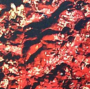
The new generation of space remote sensing satellites provide spatial resolution that is equal to traditional aerial photography, all available world-wide and sent direct to your computer.
I was one of the first researchers to apply Google Earth and related systems for archaeological prospecting and site surveying, and I published some of the first papers and presentations on this topic, which is now frequently in the news. I have discovered, or rediscovered, over 100 archaeological sites, roadways, and other historical landscape features in Burgundy using Google Earth and similar datasets, all from the comfort of my UNC office, home, or wherever I am in the world. These site locations are shared with my French colleagues for ground verification and recording.
Numerous archaeologists and others are now using these powerful tools for site survey and identification, and thousands of sites around the world are now being discovered using these amazing images. They are also very useful in monitoring the illegal destruction of our cultural heritage.