 Historical maps provide a fascinating window into the history of a region. We are fortunate that we have such a rich and diverse set of maps in our region, and we have used these to study the changing patterns of settlement and land use in our region.
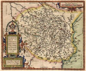
I have visited major map repositories around the world, searching for maps of our area, and have purchased many original maps and also have acquired digital versions as well from the Library of Congress in Washington, D.C. as well as the Archives National de France and Bibliteque National de France (BNF) in Paris and the Archives Militaire in Chateau Vincennes. Also from the regional archives in Macon and Dijon, and in the local commune archives as well. There are also commercial map vendors, and excellent sources such as the David Rumsey map online collection.
All of these have provided a rich source of historical information. On our ongoing Burgundy research project, we have scanned many maps of the region, back to the 1600’s, and have extracted various natural and cultural features such as roads, forests, hydrology, settlements, dams, and more. We have then used our GIS to analyze the changing patterns of settlement and land use, including analysis of water, ponds, and mills, and of forests, vines, and agriculture. Here are some examples of our Burgundy map data:
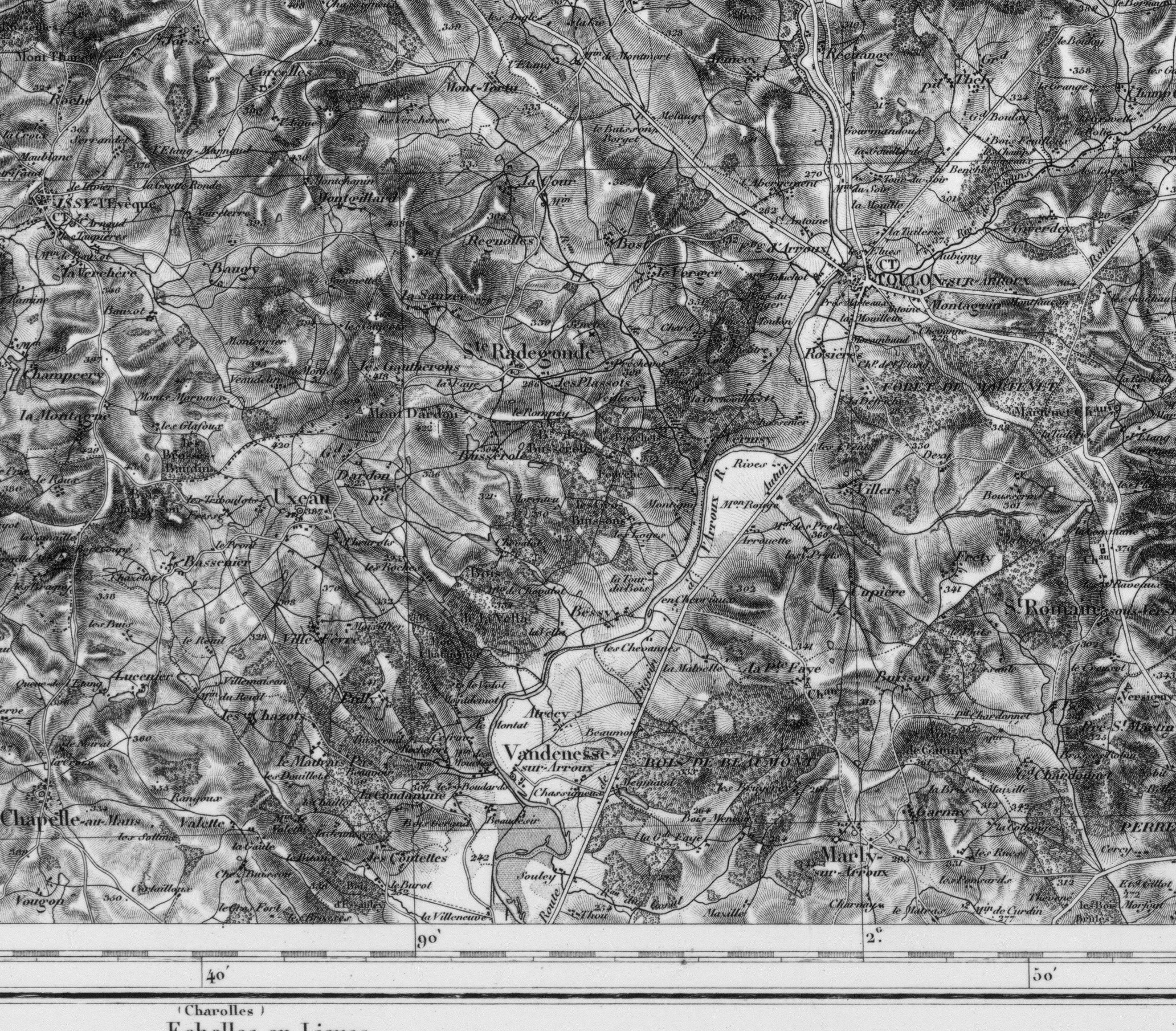
This is our 1848 French Etat Major map of our research area. It uses the hatchure method of showing elevation, which makes the map dense.
Images are courtesy of IGN.
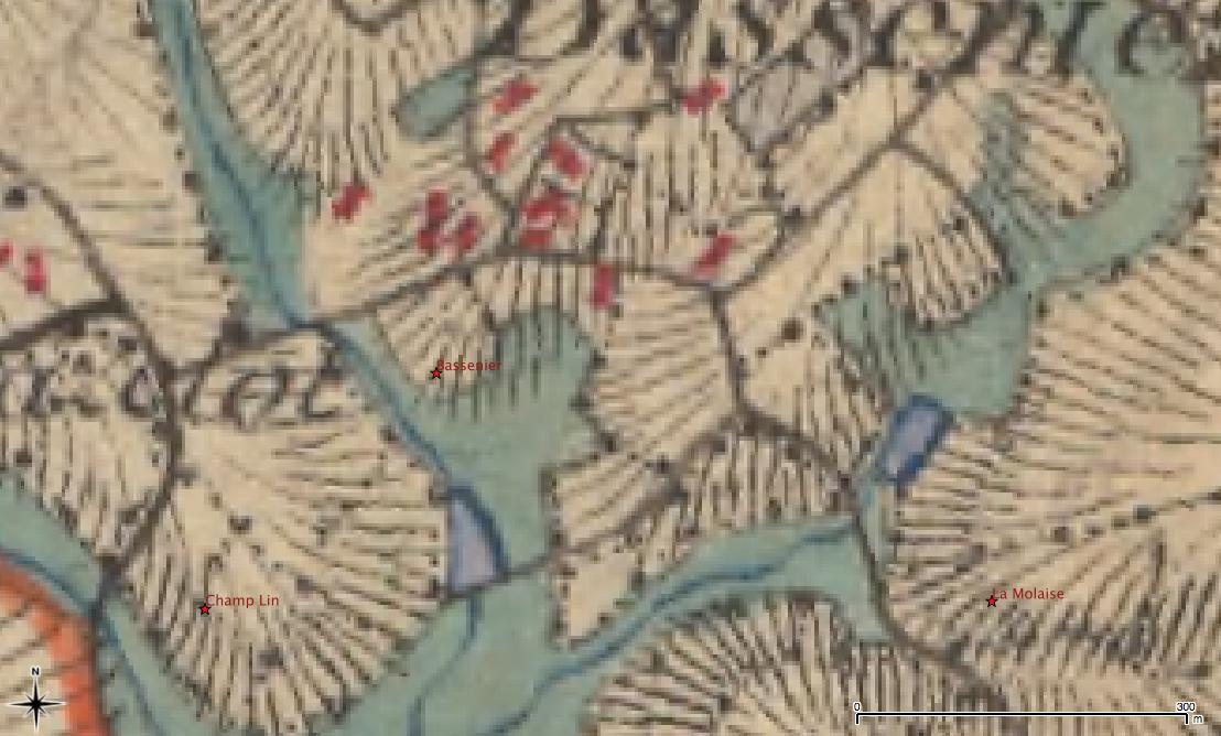
Below is a small area of the same map but it color, showing strucures in red, roads in black, and meadows in blue. The hatchure lines run ‘downhill’, and the density indicates the steepness of the slope.